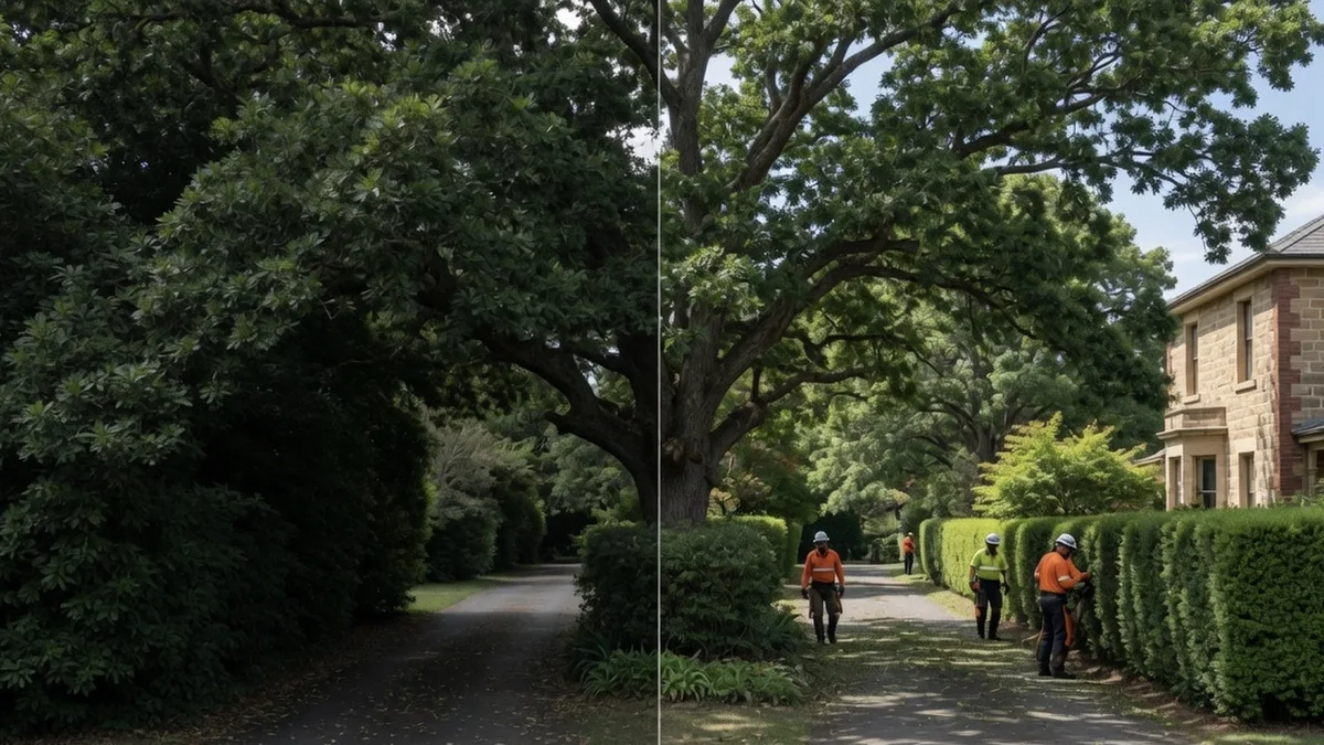
Acreage & Land Clearing
Vegetation and tree clearing for acreage blocks, hobby farms and rural subdivisions across the Wollondilly.
Learn more →Five acres is not a big backyard. We connect Wollondilly landholders with tree crews set up for paddocks, driveways, bushland boundaries and trees too big to drop in one piece.
Wollondilly runs from the Nepean gorge at Douglas Park across the Razorback Range, through the rail towns at Picton, Tahmoor and Thirlmere, down into the sandstone country either side of the Bargo River, and west past The Oaks and Oakdale to Warragamba Dam and the edge of Lake Burragorang. Much of it is national park or Sydney's drinking water catchment — the shire supplies the great majority of Sydney's water. What is left over is farmland, hobby blocks, bush boundaries and long gravel driveways.
That is the ground we work on. Wollondilly Tree Services connects landholders here with local tree crews who are set up for property-scale work, not just a hedge and a green bin.
The house block in town. A quarter-acre in Picton or Tahmoor with a big gum over the roof, a Council street tree out front that is not yours to touch, and a side gate a chipper barely fits through. This is careful, sectional work with rigging over a roofline.
The five to twenty acre block. Wilton, Silverdale, Razorback, Menangle. Here the problem is usually cumulative — regrowth closing in on a fence line, wattle and privet taking the dam bank, dead limbs over the shed, a driveway you cannot get a horse float down any more. It is a day or three of machinery work, not an hour with a pole saw.
The bushland-boundary property. Buxton, Yanderra, Couridjah, the back of Bargo. The trees are not planted, they are remnant forest, and the boundary between your slashed grass and the bush is the whole conversation. Fuel loads, standing dead timber, overhanging limbs near buildings.
Most quotes go wrong because someone priced the second or third job as if it were the first. Tell us the block size and the access when you ring and the number you get will actually hold.
The shire straddles a geological seam. Out on the Cumberland Plain edge — Menangle, Douglas Park, Appin, the Razorback slopes — you are on shale and clay, and the remnant canopy runs to forest red gum, grey box and narrow-leaved ironbark. Push south and west and the shale gives way to sandstone: grey gum, stringybarks, angophora, turpentine, blackbutt and the scrubby heath country the old maps called the Bargo Brush. The overlap between the two is Shale Sandstone Transition Forest, a listed endangered ecological community that still holds ground in the Wollondilly LGA (NSW BioNet). If your block carries it, that changes what is legally possible before it changes what is physically possible.
Practically, that means:
Private trees. Wollondilly Shire Council requires approval to prune or remove trees on private property unless an exemption applies. Council's exemption list covers a long run of introduced and weedy species — African olive, camphor laurel under 20 metres, radiata pine and poplar under 20 metres, willow, bamboo, black locust, peppercorn and more — along with declared weeds under the Biosecurity Act 2015, and trees that are dead or dying where they are not required as native animal habitat. Everything else goes through a Tree Management Application: Tier 1 covers up to 5 trees or up to 100sqm of vegetation, Tier 2 covers up to 10 trees or over 100sqm, Council aims to assess within 30 business days, and a permit runs 12 months from issue (Wollondilly Shire Council — Trees on Private Property).
Native vegetation. Council states that clearing native vegetation on rural land is legislated under the Local Land Services Act 2013 and the Biodiversity Conservation Act 2016, while urban and environmental-protection-zoned land falls under the NSW Vegetation SEPP (Wollondilly Shire Council — Clearing of Native Vegetation).
Street and verge trees are not yours. Council owns and manages them, asks residents not to prune them, and warns that fines can apply. Requests go to Council on (02) 4677 1100 (Trees on Public Land).
Bushfire clearing schemes are address-specific. Neither the 10/50 Vegetation Clearing scheme nor the Rural Boundary Clearing Code applies everywhere. Check your own address on the NSW RFS 10/50 tool and Rural Boundary Clearing Tool, print the result, and confirm with Council. We are not Council and not the RFS, and rules change.
We are a referral service. You ring one number, describe the property and the job, and we put you in touch with a local crew who covers your part of the shire and does that kind of work. No obligation, no cost to get a quote.
Two things worth saying plainly. First, we ask the crews we work with to carry their own current public liability cover — ask to see the certificate before work starts, and any crew worth booking will hand it over without fuss. Second, we do not obtain Council or RFS approvals on your behalf. If a job needs a permit, that is yours to hold, and a good crew will tell you so rather than quietly cutting anyway.
All sixteen towns and villages of the shire — Picton, Tahmoor, Thirlmere, Bargo, Buxton, Yanderra, Couridjah, Wilton, Douglas Park, Menangle, Appin, Silverdale, Warragamba, The Oaks, Oakdale and Razorback — with the local detail for each on the Areas Serviced page.
Clearing and hazard-reduction work is cheapest and easiest in autumn and winter, when the ground is firm enough for machinery and the season is not against you. Storm and emergency work, obviously, happens when it happens.
Call (02) 4601 3180 and tell us the town, the block size and how close a truck can get. That is enough to get you a straight answer and a crew who suits the job.
We work paddocks, driveways and bushland boundaries every week, not just suburban backyards.
Machinery and crews sized for whole-block clearing and big-tree removal, not just a single lopping job.
We ask the crews we work with to carry their own public liability cover — ask to see the certificate before work starts.
We help landholders reduce fuel loads and clear asset protection zones before fire season, not after.
Vegetation and tree clearing for acreage blocks, hobby farms and rural subdivisions across the Wollondilly.
Learn more →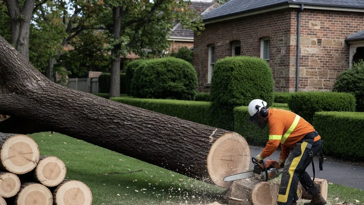
Clearing, thinning and fuel-load reduction around homes and asset protection zones on bushland-boundary properties.
Learn more →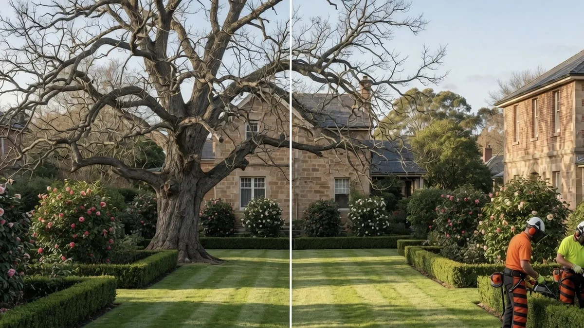
Safe removal of dead, damaged or unwanted trees from house blocks, driveways and rural boundaries.
Learn more →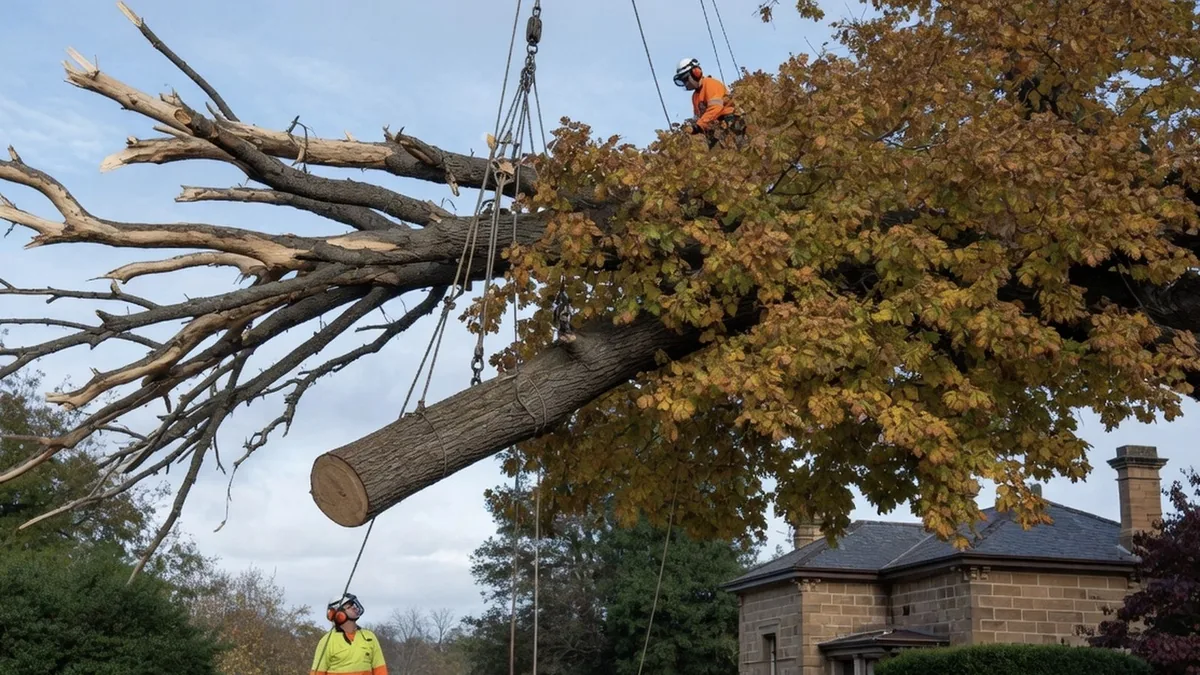
Specialist take-down of tall ironbark, stringybark and grey gum where size, lean or proximity to structures makes the job high-risk.
Learn more →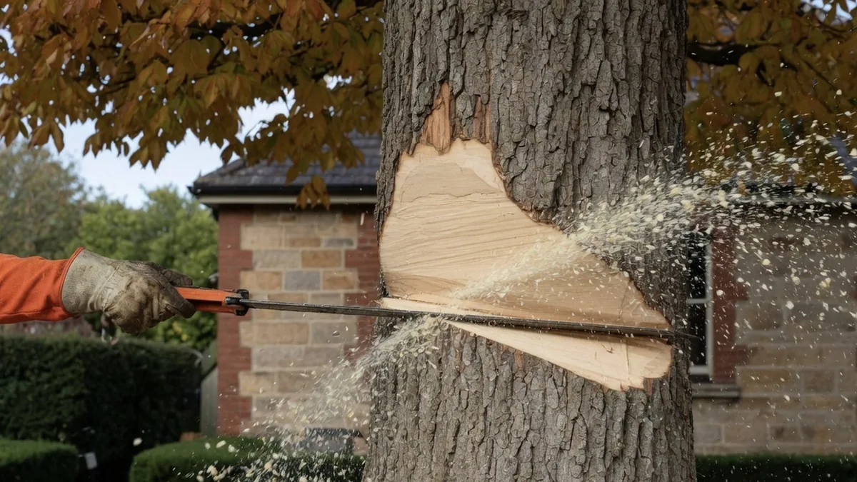
Crown reduction and selective lopping to manage size and risk on established acreage and garden trees.
Learn more →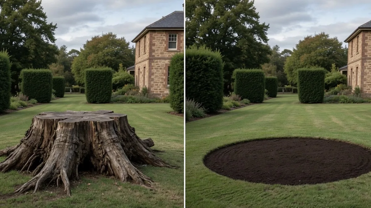
Mechanical stump grinding below ground level, clearing the way for fencing, paddocks or driveways.
Learn more →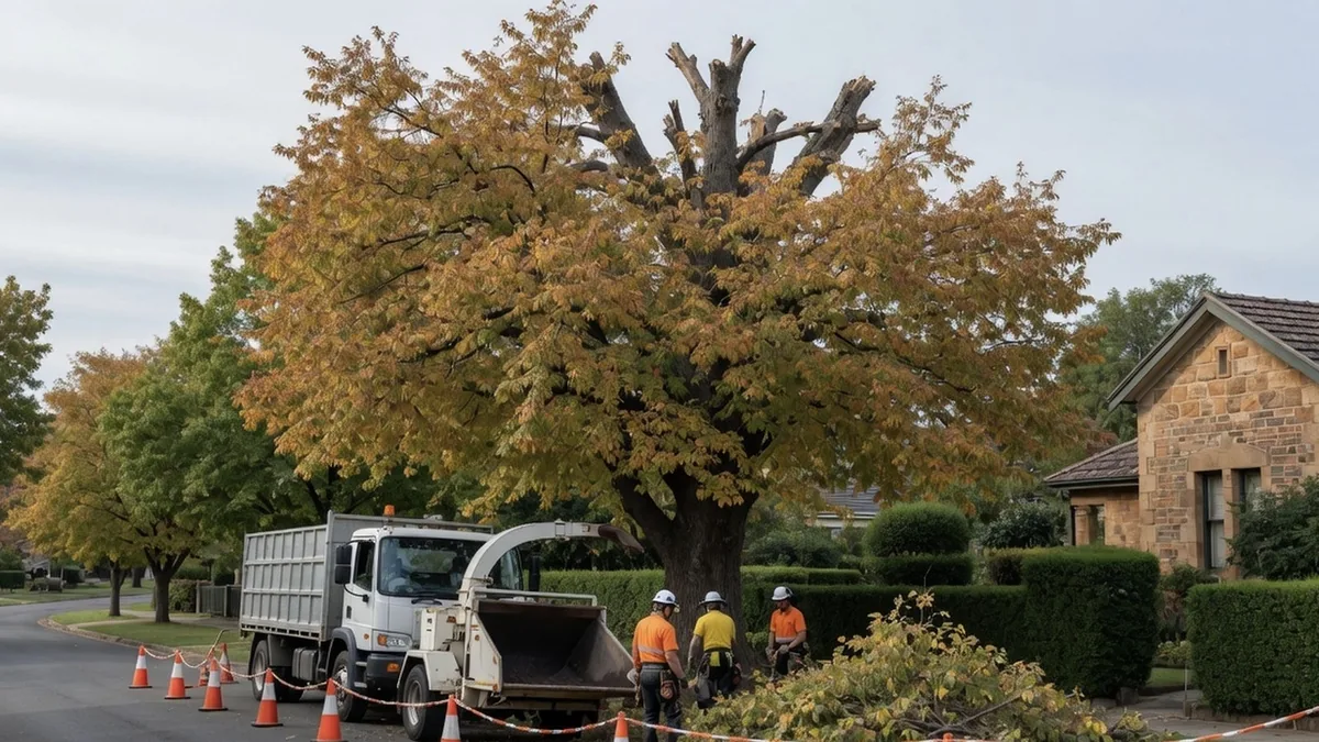
Removing dead trees and deadwood from angophora and eucalypt stands before they become a fire or fall hazard.
Learn more →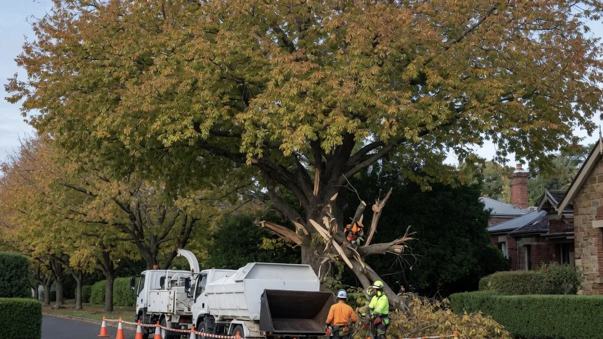
Fast response for fallen limbs and storm-damaged trees blocking driveways, fences and sheds on rural properties.
Learn more →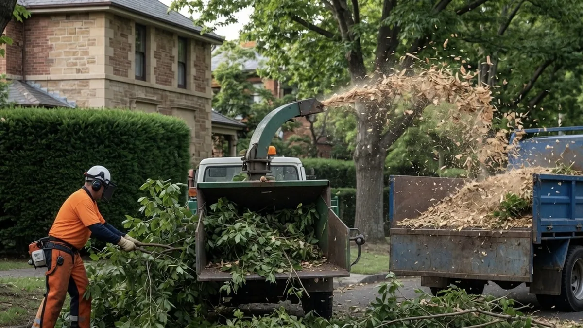
On-site chipping of cleared vegetation into mulch, with full green waste removal for larger acreage jobs.
Learn more →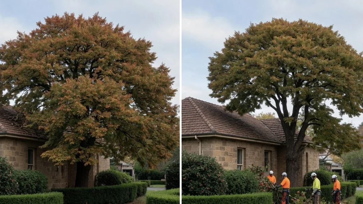
Trimming of boundary hedges and windrow plantings to keep sightlines, driveways and fence lines clear.
Learn more →Often yes, but not always. Wollondilly Shire Council publishes an exemption list of species that can be removed without approval, including African olive, camphor laurel under 20 metres, radiata pine under 20 metres, poplar under 20 metres, willow, bamboo and peppercorn, plus weeds declared under the NSW Biosecurity Act 2015. Council also treats a tree that is dead or dying as exempt where it is not required as habitat for native animals. Anything outside those exemptions generally needs a Tree Management Application. Council runs two tiers, Tier 1 for up to 5 trees or up to 100sqm of vegetation and Tier 2 for up to 10 trees or over 100sqm, and aims to assess within 30 business days. Confirm your own tree and zoning with Council on (02) 4677 1100 before any cutting starts.
Yes, the legislation splits along rural and non-rural lines. Wollondilly Shire Council states that clearing native vegetation on rural land is legislated by the Local Land Services Act 2013 and the Biodiversity Conservation Act 2016, while clearing in urban areas and land zoned for environmental protection sits under the NSW Vegetation State Environmental Planning Policy. That means a five-acre block at Oakdale and a house block in Tahmoor can be governed by different instruments even for similar work. There are also extra triggers regardless of zone, including environmental protection zoning, threatened species or endangered ecological communities, slopes over 15 degrees and watercourses. Ring Council before you commit to a clearing plan.
That depends entirely on your address, and it is not something we can sign off. Two NSW schemes may apply. The 10/50 Vegetation Clearing scheme allows some clearing near a habitable building, but only inside a designated entitlement area, which you check yourself using the NSW RFS 10/50 online tool. The Rural Boundary Clearing Code allows some rural landholders to clear within 25 metres of a boundary, but only on rural-zoned bushfire-prone land and, in Greater Sydney, only where the council has opted in. Check the RFS Rural Boundary Clearing Tool for your property and confirm with Wollondilly Shire Council. We do not issue approvals and we do not assume you have one.